


How Are Drones Changing Almost Every Industry?
- louis bates
- 5 days ago
- 3 min read
Revolutionizing Industries: The Impact of Aerial and AI Technologies
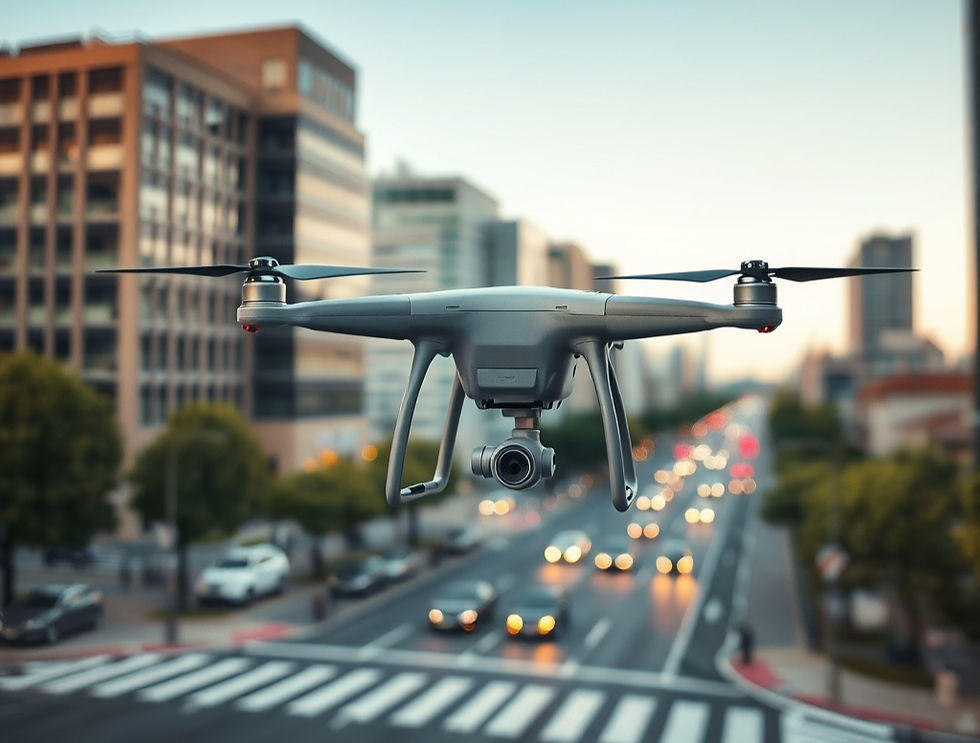
Technology is evolving fast, but one of the biggest shifts happening across industries is happening from above. Drones, AI-powered analytics, aerial mapping, and real-time visual intelligence are transforming the way businesses market, inspect, document, and make decisions.
At TDB Solutions, we believe aerial intelligence is more than just capturing impressive footage — it’s about delivering actionable data, powerful visuals, and smarter workflows that help companies operate more efficiently and stand out in competitive markets.
What Is Aerial Intelligence?
Aerial intelligence combines drone technology, imaging systems, mapping software, and AI-driven analysis to create a clearer understanding of physical environments.
Instead of relying solely on traditional ground-level inspections or outdated documentation methods, businesses can now collect highly accurate aerial data in a fraction of the time.
This technology is already reshaping industries like:
Construction
Real Estate
Energy & Utilities
Infrastructure
Marketing & Media
Land Development
Surveying & Mapping
From cinematic marketing videos to 3D construction progress models, aerial intelligence provides a level of perspective that was previously expensive or difficult to obtain.
The Construction Industry Is Rapidly Adopting Drone Technology
Construction companies are increasingly using drones for:
Weekly progress tracking
Site inspections
Earthwork monitoring
Safety documentation
Stakeholder reporting
3D site mapping
Volume calculations
Traditional site visits can be time-consuming and inconsistent. Drone mapping creates a permanent visual record of each stage of a project, allowing contractors, developers, and clients to review progress remotely with precision.
With aerial imagery and photogrammetry, teams can identify issues earlier, improve communication, and reduce costly delays.
Real Estate Marketing Has Changed Forever
First impressions matter more than ever online.
Drone photography and cinematic aerial video allow properties, developments, and commercial projects to stand out instantly across websites and social media platforms.
Aerial content helps showcase:
Property scale
Surrounding amenities
Access roads
Neighborhood layouts
Waterfront or skyline views
Construction progress
In today’s market, buyers expect more than static photos. High-quality aerial visuals create a more immersive experience and dramatically improve engagement.
Smarter Inspections, Safer Operations
Utility corridors, rooftops, solar farms, transmission lines, and large industrial sites can be difficult — and sometimes dangerous — to inspect manually.
Drone inspections provide:
Faster deployment
Reduced safety risks
High-resolution imagery
Thermal inspection capabilities
Detailed documentation
Lower operational costs
Instead of sending crews into hazardous areas, aerial systems can gather the same information quickly and efficiently while maintaining a safer work environment.
AI Is Taking Drone Data to the Next Level
Collecting data is only the beginning.
Artificial intelligence now allows businesses to:
Detect anomalies automatically
Compare site progress over time
Generate detailed reports
Create 3D digital twins
Analyze infrastructure conditions
Improve project forecasting
The future of aerial intelligence isn’t just about flying drones — it’s about transforming raw data into meaningful insights that help businesses make faster, smarter decisions.
Why TDB Solutions?
At TDB Solutions, we combine real-world field experience with modern aerial technology to provide professional drone services tailored to each client’s needs.
With a background in surveying, construction environments, and visual media production, we understand both the technical and creative side of aerial intelligence.
Our services include:
Aerial photography & videography
Construction progress tracking
Drone inspections
3D mapping & photogrammetry
Marketing media creation
Graphic design & branding visuals
AI-enhanced visual solutions
We don’t just capture footage — we help businesses elevate their perspective.
The Future Is Above Us
As drone technology, AI, and mapping systems continue to evolve, aerial intelligence will become a standard part of how industries operate.
Companies that adopt these technologies early gain a major advantage in efficiency, branding, documentation, and decision-making.
The future of business isn’t just digital.It’s aerial.
TDBSolutions.aiElevate Your Perspective
Comments